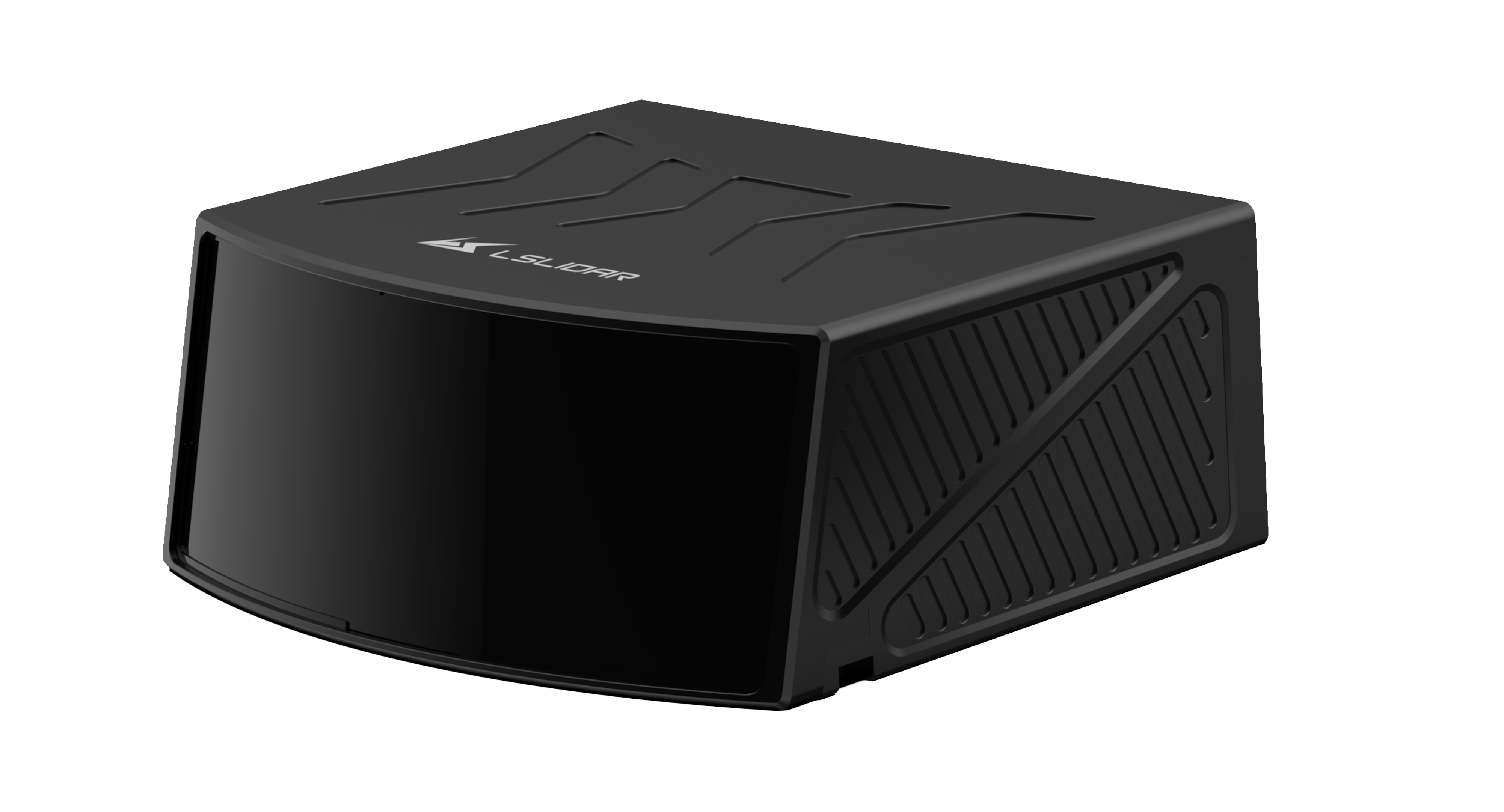
MS-CX Series
905nm Hybrid Solid-State LiDAR
Compact in size and lightweight at only 635g, making it suitable to be mounted on UAV
MS-CX series is a compact and lightweight high-precision Mapping LiDAR. It has advantages of fast scanning speed, high resolution and high reliability. The maximum detection range is up to 300m, with measurement accuracy of ±2cm. It is compact in size and lightweight at only 635g, making it suitable to be mounted on UAV. It has wide applications in high-precision mapping, smart cities, 3D city modeling, national land mapping, fire emergency response, power grid inspection, rail track inspection, mine inspection, tunnel inspection, forest inspection and other fields.


1
180m@10% / 300m@70%
±2cm
120°(H) * /
0.012°~0.12° (H) * /
15~150Hz
150,000 pts/s (Single)
300,000 pts/s (Dual)
-40℃~60℃
110*100.4*45 mm / ≈635g
3
180m@10% / 300m@70%
±2cm
120°(H) * 0.4°(V)
0.012°~0.12° (H) * /0.2°(V)
5~50Hz
150,000 pts/s (Single)
300,000 pts/s (Dual)
-40℃~60℃
110*100.4*45 mm / ≈635g
Please Leave Your Message

Thank you very much for your approval of LSLiDAR, we will do our best to serve you ! We will respond to your intended needs within 24 hours, thank you for your support.
*Please fill in the correct email address to avoid failure to receive messages/files.
Please Leave Your Message

Thank you very much for your approval of LSLiDAR, we will do our best to serve you ! We will respond to your intended needs within 24 hours, thank you for your support.
*Please fill in the correct email address to avoid failure to receive messages/files.